
Wafi Aerospace
Products
Explore our advanced proprietary flight hardware and software solutions designed for high performance operations and perimeter defence .
Platform / Interceptors
Wafi Saqr
for extreme performance.
Engineered for lightning fast perimeter defense, the Wafi multi rotor tactical interceptor delivers high thrust vertical liftoff, explosive acceleration, and aggressive high G maneuverability to neutralize hostile drones instantly.
- Cruise Speed200 km/h
- Max / Burst Speed280–300 km/h
- Operational RangeUp to 10 km
- Flight Endurance8–10 minutes
- Guidance SystemAutonomous optical / machinevision
- Neutralization TypeKinetic impact or proximity warhead
Software Products
Wafi Fluid Structure
Mapping
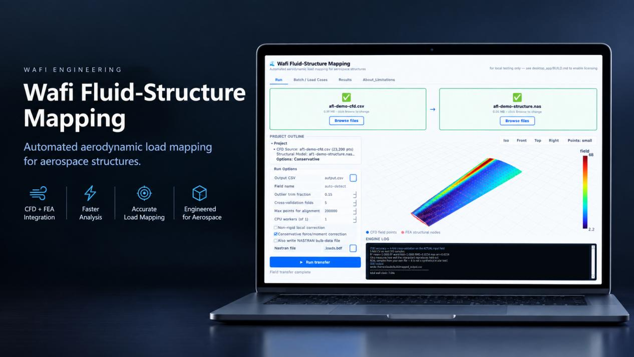
Wafi FluidStructure Mapping automates the translation of pressure distributions, thermal fields, and aerodynamic forces from any standard CFD solver directly onto NASTRAN, Abaqus, or ANSYS structural meshes using advanced spatial mapping algorithms.
Core Features & Enterprise Capabilities
Universal CFD & Solver Agnosticism
Ingest raw flow field data, surface pressures, and vector forces from leading CFD packages, including ANSYS Fluent, OpenFOAM, StarCCM+, and SU2.
NonConforming Mesh Interpolation
Bridge disparate CFD and FEA grids effortlessly using advanced spatial search trees and conservative multiscale mapping mathematics, eliminating the need for identical surface meshing.
Exact Force & Moment Conservation
Maintain strict global and local equilibrium across structural boundaries so that integrated aerodynamic loads transferred to your NASTRAN bulk data decks match fluid domain totals perfectly.
Automated NASTRAN Deck Generation
Output ready-to-run NASTRAN input files containing converted FORCE, PLOAD1, PLOAD2, or PLOAD4 cards mapped straight to grid points and element faces.
Dynamic Aeroelastic Data Pipelines
Streamline static and transient aeroelastic analysis workflows by batch processing time accurate CFD snapshots into sequential structural load cases.
Built In Geometric Correction
Automatically reconcile coordinate system mismatches, unit scaling variations, and minor CAD versus mesh surface gaps prior to data projection.